
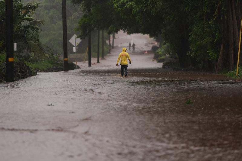
Hurricane Nolo Re-Strengthens in Central Pacific
Hurricane Nolo re-strengthened to hurricane status in the central Pacific Ocean on October 2, 2026, with sustained winds reaching 75 mph. The storm is currently moving slowly westward. Forecasters at the National Hurricane Center (NHC) indicate a high probability, exceeding 50%, for rapid intensification over the next 24 hours. Nolo is expected to accelerate significantly by late Saturday, moving three times faster than its current speed. The hurricane is forecast to cross the International Date Line between 48 and 60 hours from October 2, 2026, as reported by The Independent.
Official Forecasts and Intensification Outlook
The National Hurricane Center, based in Miami, Floridacontinues to monitor Hurricane Nolo’s trajectory and intensity. Official statements from the NHC emphasize the potential for Nolo to strengthen further before a weakening trend is anticipated after day three. Model guidance consistently indicates this weakening trend following its peak intensity. The westward acceleration will be a critical factor in its path, influencing potential impacts on shipping lanes and remote islands in the Pacific. For more information on hurricane tracking and preparedness, the National Hurricane Center’s official website provides real-time updates and advisories.
Historical Context of Pacific Hurricane Activity
The central Pacific Ocean is an active basin for tropical cyclone development, particularly during the hurricane season, which typically runs from June 1 to November 30. Hurricanes in this region can pose significant threats to maritime operations and island nations, even when they do not make direct landfall. The intensity and movement of storms like Nolo are influenced by various atmospheric and oceanic conditions, including sea surface temperatures and steering currents. The phenomenon of rapid intensification, where a tropical cyclone’s maximum sustained winds increase by at least 30 knots (35 mph) in a 24-hour period, is a focus of ongoing meteorological research and forecasting efforts. Understanding these complex weather patterns is crucial for public safety and economic stability in affected areas. ByteSize Network has previously covered related topics, including the impact of unidentified cameras monitoring Florida driverswhich highlights broader concerns about public infrastructure and monitoring in regions prone to natural disasters. The acceleration of Nolo westward and its eventual crossing of the International Date Line will shift its designation from a hurricane to a typhoon, a nomenclature change based purely on geographical location rather than storm intensity.
Sponsored · Put your business in front of ByteSize Network's readers, with every click measured. See advertising packages · Advertise on ByteSize Network